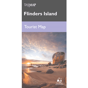
Description Flinders Island Tourist Map The Flinders Island Tourist Map is a comprehensive 1:125k scale map of the island, ideal for walking, driving, sea-kayaking and more. Flinders Island is the largest in the Furneaux Group, comprising 52 granite islands in Bass Strait, off north-east Tasmania. On this island of exceptional beauty you can wander a deserted beach, climb a mountain jutting from the sea, fossick for a Killiecrankie diamond, go kayaking, feast on fresh produce, or simply curl up with a good book and enjoy the serenityWhether your visiting for a few days or a couple of weeks you can use this visitors map to plan your trip and locate all the exciting activities you can enjoy on your holiday.