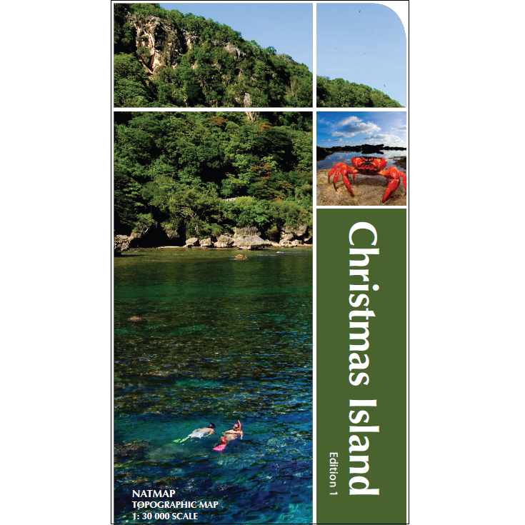
Description Christmas Island Map The Christmas Island Map from NATMAP is a topographic map in a scale of 1:30,000 and is ideal for walking and driving around the Island. Christmas Island is an Australian territory in the Indian Ocean, lying south of Java, Indonesia. A national park covers most of the 135 square kilometer island, offering rainforest hikes to wetlands and waterfalls like Hugh’s Dale. Native wildlife includes nesting seabirds and the red crab, a land species known for its late-fall migration to the sea. The island is ringed with snorkelling and diving reefs. This map is also available laminated.