DATOSDELSITIO.ES ≡ Manual Wheelchairs Toilet Womens Hunting Clothing Shop By Brand
  • New South Wales / Act Maps

  • South East New South Wales Road Map

South East New South Wales Road Map

$34.9 $67.71
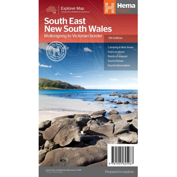
Description South East New South Wales Road Map The South East New South Wales Road Map is a regional road map of the area between Wollongong down to the Victoria border, and out to Gundagai and past Jindabyne in the West. Covered regions in the map include; Illawarra, Jervis Bay & Shoalhaven, Batemans Bay, Canberra & surrounds, Merimbula & Sapphire Coast, Southern Highlands, Goulburn Region and the Snowy Mountains. On the opposite side is extensive information on numerous regions, including visitor, historical and background information.   Features: Comprehensive map of South East New South Wales Camping & rest areas Fuel locations Tourist drives Detailed National Park Listing with facilities Tourist Information Centres
New South Wales / Act Maps

New South Wales / Act Maps

  • Sydney & North Sydney City Pocket Map 260
    $17.96 $22.81
  • Outback New South Wales Map
    $29.34 $50.17
  • Sydney Suburbs & City Centre Map 218
    $14.47 $24.02
  • Sydney to Brisbane Map 244
    $29.87 $36.74
  • Norfolk Island Map
    $26.25 $50.14
  • Port Stephens Map 295
    $26.69 $43.5
  • Sydney to Brisbane Road Map
    $19.7 $38.42
  • South East New South Wales Road Map
    $34.9 $67.71
  • Sydney City Streets & Suburbs Map 262
    $24.89 $39.58
  • Wagga Wagga & The Riverina Map 284
    $22.58 $44.26
  • Sydney Popout Map
    $10.21 $17.87
  • Southern Highlands & South Coast Map 283/298
    $27.35 $45.4
  • North East New South Wales Map
    $14.4 $25.34
  • Sydney to Melbourne Touring Road Map 245
    $20.7 $29.39
  • Sydney & Region Map
    $21.35 $39.07
  • South East Australia Map
    $24.49 $32.33

© 2026 - DATOSDELSITIO.ES